Google Earth
Information
-
DeveloperGoogle LLC
-
Package Namecom.google.earth
-
CategoryTravel & Local
-
App NameGoogle Earth
-
Version10.88.0.2
-
Rating4.2
ADVERTISEMENT
Origins of Google Earth
1. Google Earth was launched by Keyhole Inc. in 2001, under the name Earth Viewer. Acquired by Google in 2004, it quickly became a powerful tool for exploration and learning, offering a unique experience of viewing various geographical locations through satellite imagery.
2. Over the years, the Google Earth app evolved into a sophisticated platform that allows users to explore the planet from the comfort of their devices. With options for free Google Earth app download and installation on Android and IOS, it provides an accessible way to gain insights through immersive, data-driven maps.
Google Earth Features
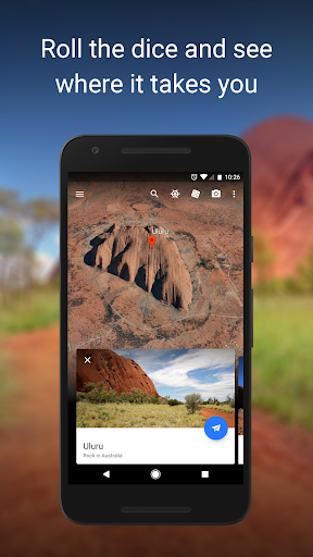
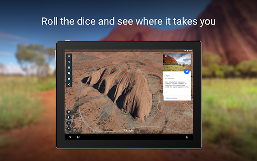
1. High-resolution Satellite Imagery: The Google Earth app offers stunning high-resolution satellite imagery, allowing users to see detailed perspectives of landscapes and urban areas worldwide. The ability to zoom in on specific locations gives users an unmatched ability to view any part of the world with incredible clarity.
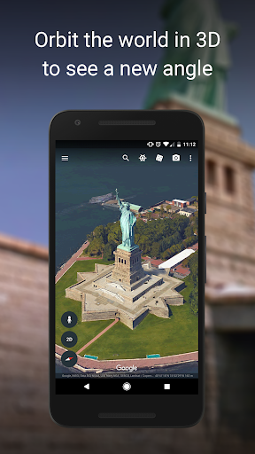
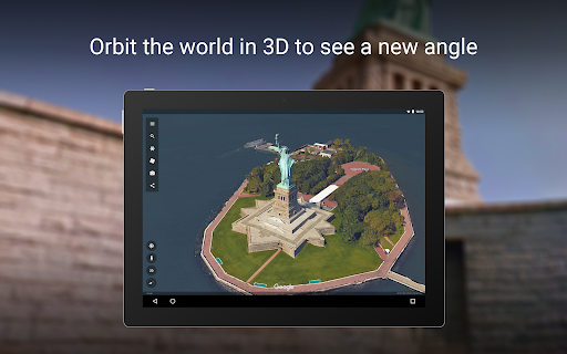
2. 3D Terrain and Buildings: Explore life-like 3D terrain and buildings available in hundreds of cities. This feature provides a remarkable sense of place, offering a virtual tour of iconic structures and natural features, from the skyscrapers of New York City to the vast expanse of the Grand Canyon.
3. Street View: With Street View’s 360° perspectives, users can dive into streets and neighborhoods to experience what it feels like to walk through them. This powerful tool creates an immersive street-level view, offering unique exploration opportunities right from your device.
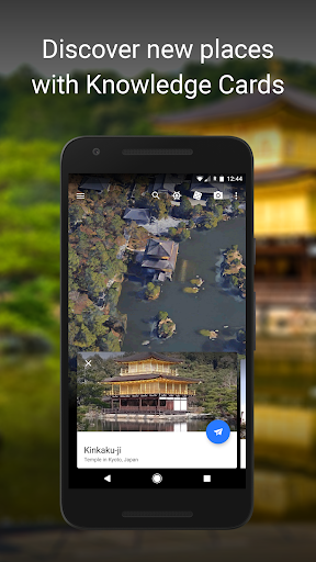
4. Creation Tools: The new Google Earth app isn’t just about exploring; it's also about creating. Users can create and collaborate on custom maps, integrating varied data sets to craft detailed and personalized maps, complete with text, images, and videos.
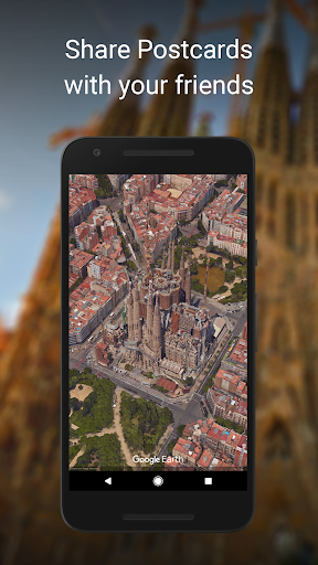
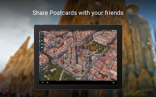
5. Accessibility and Sharing: Users can access the Google Earth app across devices by installing it on Android or IOS platforms. Whether exploring remotely or sharing specific locations and routes, it encourages collaborative exploration and data sharing among educators, students, and curious explorers alike.
How to Use Google Earth
1. Download and Install: To start using Google Earth, you’ll first need to download Google Earth from either the Google Play Store for Android or the Apple App Store for IOS. The free Google Earth app presents a straightforward installation process, ensuring a quick setup on your device.
2. Initial Login: Upon download, you’ll be required to log in to the Google Earth app using your Google account credentials. This login process grants access to personalized features and saved maps, ensuring a seamless exploratory experience.
3. Navigation: Navigating the Google Earth app is intuitive. Utilize the search bar to enter a location, or use virtual joysticks and pinch gestures to zoom in and out. For Android and IOS devices, smooth touch controls make transitioning from one feature to another fluid and engaging.
4. Exploring Features: Dive into different features such as 3D buildings or Street View by selecting options as you explore a location. Engaging with these features is straightforward, requiring simple taps and swipes to move between perspectives or transition between various map layers.
5. Creating Custom Maps: Utilize the app's creation tools to design your own map. Add markers, paths, and polygons to customize your exploration further. With the ability to layer additional data over existing maps, you can construct complex visual presentations for personal use or sharing.
Hidden Tips
1. Keyboard Shortcuts: For desktop users, knowing shortcuts enhances navigation efficiency. Commands like Ctrl + Shift + L for toggling borders or Ctrl + Alt + B for terrain elevation make exploring with Google Earth; smoother and more interactive after download and installation.
2. Measuring Distances: Measure distances between two points using the ruler tool. This feature is particularly useful for planning trips or analyzing geographical data, refining your use of the Google Earth app on both Android and IOS.
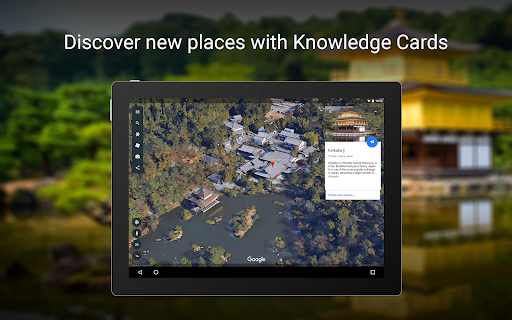
3. Historical Imagery: Explore changes over time with the historical imagery tool. Users can slide back through time to view older satellite images, which can be invaluable for research and understanding geographical evolution.
4. Atmospheric Effects: Add a touch of realism by toggling atmospheric effects. This feature simulates sunlight and sky conditions, enhancing the authenticity of viewing landscapes at different times of the day.
5. Sharing Locations: Easily share marked locations or maps with others. Whether you're using the free Google Earth app on Android or IOS, the ability to export and share can enhance collaborative projects or simply share experiences with friends and family.
In summary, the Google Earth app stands out as a versatile and immersive tool that strikes a fine balance between exploration and creation. With its rich features and user-friendly interface, it invites users to rediscover the planet in new and engaging ways, whether through an awe-inspiring visual experience or a thoroughly crafted navigational map. The straightforward process to download Google Earth and install it, whether on Android or IOS, complements its accessibility, making it a must-have tool for both casual users and professionals seeking detailed geographical analyses. By leveraging these expert features and hidden tips, users can unlock the full potential of the Google Earth app, making each exploratory session valuable and insightful.
ADVERTISEMENT